Bridleway to Lower Hoddern Farm
Introduction
The photograph on this page of Bridleway to Lower Hoddern Farm by Simon Carey as part of the Geograph project.
The Geograph project started in 2005 with the aim of publishing, organising and preserving representative images for every square kilometre of Great Britain, Ireland and the Isle of Man.

There are currently over 7.5m images from over 14,400 individuals and you can help contribute to the project by visiting https://www.geograph.org.uk
Bridleway to Lower Hoddern Farm
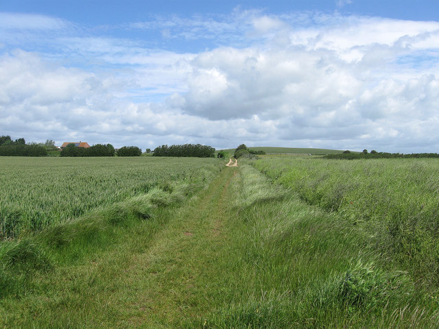
Image: © Simon Carey Taken: 9 Jun 2012
The original course of the bridleway linked Piddinghoe Avenue to the farm then turned west onto Glynn Road. The southern part has currently disappeared under the Image development necessitating a diversion eastwards to use Image See also Image The roof of the farm is just visible to the left.
Images are licensed for reuse under creativecommons.org/licenses/by-sa/2.0
Image Location
Latitude
50.799733
Longitude
0.012954