Llwybr Arfordir Cymru ar Golftyn
Introduction
The photograph on this page of Llwybr Arfordir Cymru ar Golftyn by John Haynes as part of the Geograph project.
The Geograph project started in 2005 with the aim of publishing, organising and preserving representative images for every square kilometre of Great Britain, Ireland and the Isle of Man.

There are currently over 7.5m images from over 14,400 individuals and you can help contribute to the project by visiting https://www.geograph.org.uk
Llwybr Arfordir Cymru ar Golftyn
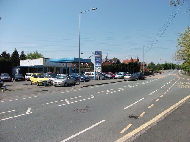
Image: © John Haynes Taken: 22 May 2012
The Wales Coast Path has a 4 Km slog along pavements as the coast is overwhelmed with industrial development. This is the B5129 at Golftyn heading towards Y Fflint.
Images are licensed for reuse under creativecommons.org/licenses/by-sa/2.0
Image Location
Latitude
53.224646
Longitude
-3.07212