Bolney Avenue
Introduction
The photograph on this page of Bolney Avenue by Simon Carey as part of the Geograph project.
The Geograph project started in 2005 with the aim of publishing, organising and preserving representative images for every square kilometre of Great Britain, Ireland and the Isle of Man.

There are currently over 7.5m images from over 14,400 individuals and you can help contribute to the project by visiting https://www.geograph.org.uk
Bolney Avenue
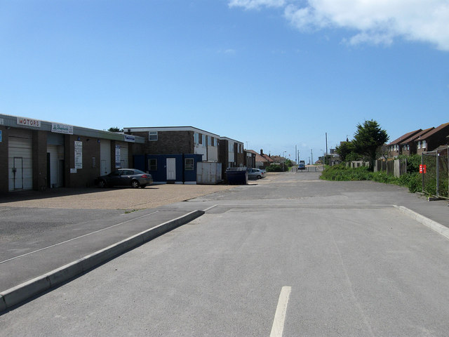
Image: © Simon Carey Taken: 9 Jun 2012
Well it was but there does seem to be a confusion of whether it still is. The road is one of the original highways laid out in 1920 with this section initially used as an access track to Lower Hoddern, a small farm predating the development of the town. Since the 1990s the section in the distance beyond the bollards has become Rayford Close whilst the part to the north is now only accessed via Image Beyond the works to the left is Iroko House which still gives its address as Bolney Avenue.
Images are licensed for reuse under creativecommons.org/licenses/by-sa/2.0
Image Location
Latitude
50.793554
Longitude
0.006161