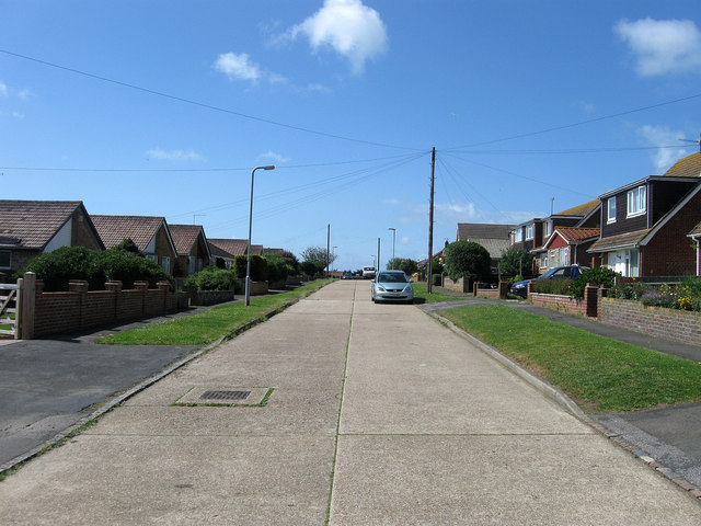
Edith Avenue North
Introduction
The photograph on this page of Edith Avenue North by Simon Carey as part of the Geograph project.
The Geograph project started in 2005 with the aim of publishing, organising and preserving representative images for every square kilometre of Great Britain, Ireland and the Isle of Man.
There are currently over 7.5m images from over 14,400 individuals and you can help contribute to the project by visiting https://www.geograph.org.uk

Image: © Simon Carey Taken: 9 Jun 2012
One of the original avenues laid out in 1920 when the town of Peacehaven was developed. The highway originally ran from Firle Road south to the A259 then beyond to the cliff tops. However, the section between Southview Road and Arundel Road was never built upon and by the 1960s was little more than a dirt track which eventually disappeared when first, Image was developed, and then the Meridian Centre was added in the late 1970s requiring the local council to add the 'North' suffix to avoid people getting lost.

