River Wandle at Richmond Green
Introduction
The photograph on this page of River Wandle at Richmond Green by Marathon as part of the Geograph project.
The Geograph project started in 2005 with the aim of publishing, organising and preserving representative images for every square kilometre of Great Britain, Ireland and the Isle of Man.

There are currently over 7.5m images from over 14,400 individuals and you can help contribute to the project by visiting https://www.geograph.org.uk
River Wandle at Richmond Green
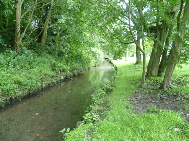
Image: © Marathon Taken: 13 Jun 2012
The present name of the River Wandle did not develop until the end of the medieval period. Wandle seems to have been in use by the 16th century. One possible derivation is from the Teutonic word for water 'wandu'. Although the river is relatively short it has a steady fall over that distance. Because of its rapid flow it has never been important for navigation, but it has been a good source of power since its gradient was ideal for the construction of weirs and dams. In the early 18th century there were 68 water wheels on the Wandle, an average of one every 300 metres. In 1805 it was said that the Wandle was the hardest worked river in the world. The Beddington branch of the Wandle emerges from a culvert when it crosses the boundary between the Boroughs of Croydon and Sutton. Here at Richmond Green, soon after leaving the culvert, the river is still in its infancy.
Images are licensed for reuse under creativecommons.org/licenses/by-sa/2.0
Image Location
Latitude
51.370321
Longitude
-0.125908