Bramford Lock
Introduction
The photograph on this page of Bramford Lock by Bob Jones as part of the Geograph project.
The Geograph project started in 2005 with the aim of publishing, organising and preserving representative images for every square kilometre of Great Britain, Ireland and the Isle of Man.

There are currently over 7.5m images from over 14,400 individuals and you can help contribute to the project by visiting https://www.geograph.org.uk
Bramford Lock
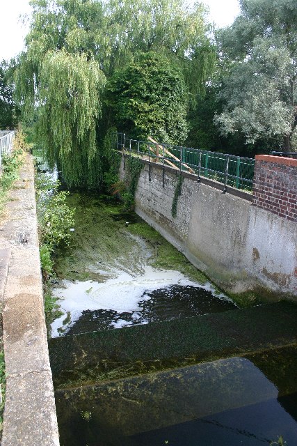
Image: © Bob Jones Taken: 23 Jul 2005
The Ipswich and Stowmarket Navigation linked the two towns on the River Gipping in 1798, but was closed in 1929. Most of the 15 locks can still be seen; this one at Bramford is still in relatively good condition.
Images are licensed for reuse under creativecommons.org/licenses/by-sa/2.0
Image Location


Leaflet Map data © OpenStreetMap
Latitude
52.075988
Longitude
1.102423