Down the hill to Compton Dando
Introduction
The photograph on this page of Down the hill to Compton Dando by Neil Owen as part of the Geograph project.
The Geograph project started in 2005 with the aim of publishing, organising and preserving representative images for every square kilometre of Great Britain, Ireland and the Isle of Man.

There are currently over 7.5m images from over 14,400 individuals and you can help contribute to the project by visiting https://www.geograph.org.uk
Down the hill to Compton Dando
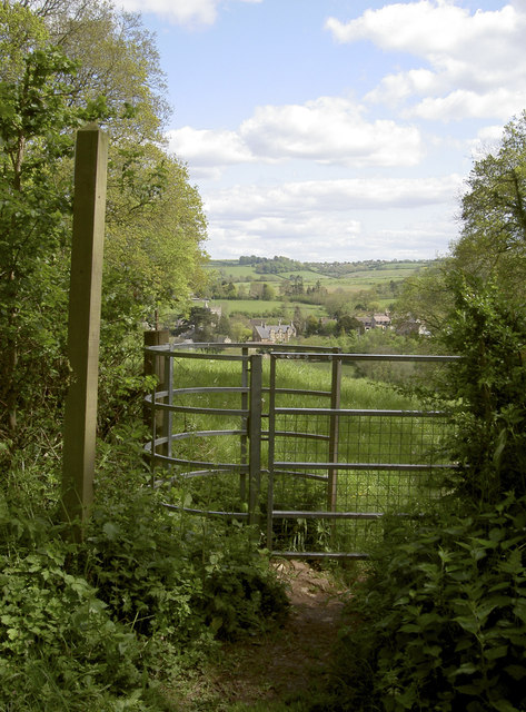
Image: © Neil Owen Taken: 12 May 2012
A footpath and a gate point the way down the meadow to the village; it's a better way to walk to it, rather than use Peppershells Lane which is a few yards to the left.
Images are licensed for reuse under creativecommons.org/licenses/by-sa/2.0
Image Location
Latitude
51.3821
Longitude
-2.516091