The Picture House
Introduction
The photograph on this page of The Picture House by Stuart Logan as part of the Geograph project.
The Geograph project started in 2005 with the aim of publishing, organising and preserving representative images for every square kilometre of Great Britain, Ireland and the Isle of Man.

There are currently over 7.5m images from over 14,400 individuals and you can help contribute to the project by visiting https://www.geograph.org.uk
The Picture House
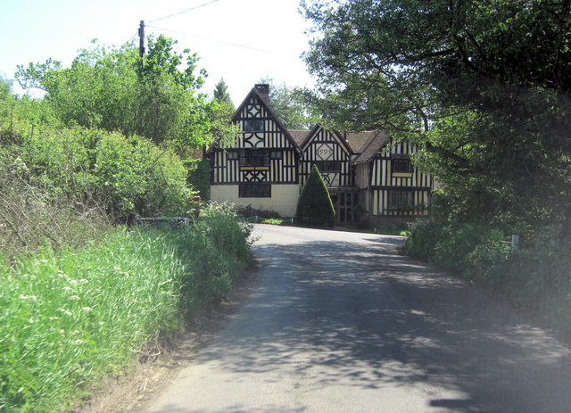
Image: © Stuart Logan Taken: 26 May 2012
It's easy to miss this beautiful late 16th C Grade II* listed house when driving from the south. It has English Heritage Building ID: 446939 and has been restored but it is still emblazoned with a date of 1593 on this facade.
Images are licensed for reuse under creativecommons.org/licenses/by-sa/2.0
Image Location


Leaflet Map data © OpenStreetMap
Latitude
51.154918
Longitude
0.200694