Earthworks at Great Wolford
Introduction
The photograph on this page of Earthworks at Great Wolford by Michael Dibb as part of the Geograph project.
The Geograph project started in 2005 with the aim of publishing, organising and preserving representative images for every square kilometre of Great Britain, Ireland and the Isle of Man.

There are currently over 7.5m images from over 14,400 individuals and you can help contribute to the project by visiting https://www.geograph.org.uk
Earthworks at Great Wolford
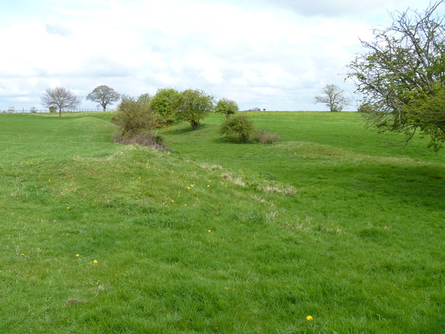
Image: © Michael Dibb Taken: 5 May 2012
The earthworks, seen here from the footpath, are scheduled under the Ancient Monuments and Archaeological Areas Act 1979. The brief details given on the English Heritage site are for a moated site but it is now thought that they were defensive. See https://historicengland.org.uk/listing/the-list/list-entry/1005733 and http://timetrail.warwickshire.gov.uk/detail.aspx?monuid=WA1837
Images are licensed for reuse under creativecommons.org/licenses/by-sa/2.0
Image Location
Latitude
52.009806
Longitude
-1.634847