Open Access Land
Introduction
The photograph on this page of Open Access Land by Mick Garratt as part of the Geograph project.
The Geograph project started in 2005 with the aim of publishing, organising and preserving representative images for every square kilometre of Great Britain, Ireland and the Isle of Man.

There are currently over 7.5m images from over 14,400 individuals and you can help contribute to the project by visiting https://www.geograph.org.uk
Open Access Land
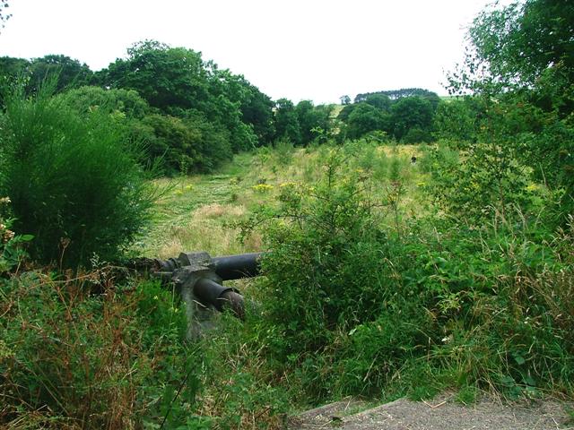
Image: © Mick Garratt Taken: 23 Jul 2005
A small patch of Open Access land with steps down from the Lanchester Valley Cycle and Walk Way. Down the steps and duck under the pipe.
Images are licensed for reuse under creativecommons.org/licenses/by-sa/2.0
Image Location


Leaflet Map data © OpenStreetMap
Latitude
54.813091
Longitude
-1.744785