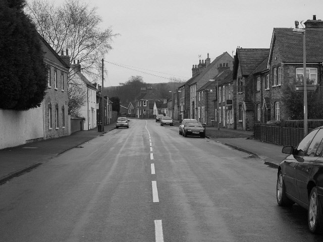
South Cave, West End
Introduction
The photograph on this page of South Cave, West End by Roger Gilbertson as part of the Geograph project.
The Geograph project started in 2005 with the aim of publishing, organising and preserving representative images for every square kilometre of Great Britain, Ireland and the Isle of Man.
There are currently over 7.5m images from over 14,400 individuals and you can help contribute to the project by visiting https://www.geograph.org.uk

Image: © Roger Gilbertson Taken: 25 Dec 2006
Re-creation of a Francis Frith photograph c1955 at http://www.francisfrith.com/search/england/humberside/south+cave/photos/south+cave_s403002.htm On the left, the two trees have grown considerably; the door on the first house is now a window; the next house has been painted white; the telephone pole survives. On the right, the pavement has been extended (there are now houses behind what was a bank of earth); several newer houses have been built. There are also newer houses in the distance and there were no cars in the original photograph. Finding the appropriate position from which to take the photograph took several attempts, moving only a few inches between each exposure. A good deal of traffic dodging was also necessary, even though photographing on Christmas Day, which it would be unrealistic to attempt at almost any other time of year. For the colour version see Image

