B6014 towards Tansley and Matlock
Introduction
The photograph on this page of B6014 towards Tansley and Matlock by Andrew Hill as part of the Geograph project.
The Geograph project started in 2005 with the aim of publishing, organising and preserving representative images for every square kilometre of Great Britain, Ireland and the Isle of Man.

There are currently over 7.5m images from over 14,400 individuals and you can help contribute to the project by visiting https://www.geograph.org.uk
B6014 towards Tansley and Matlock
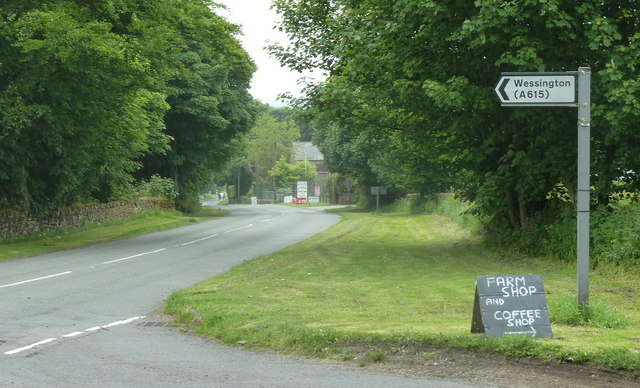
Image: © Andrew Hill Taken: 13 Jun 2012
View along the road west of Butterley Hill. Lickpenny Lane cuts across left to the A615.
Images are licensed for reuse under creativecommons.org/licenses/by-sa/2.0
Image Location
Latitude
53.134903
Longitude
-1.491909