Lane to Hugginshayes Farm
Introduction
The photograph on this page of Lane to Hugginshayes Farm by Derek Harper as part of the Geograph project.
The Geograph project started in 2005 with the aim of publishing, organising and preserving representative images for every square kilometre of Great Britain, Ireland and the Isle of Man.

There are currently over 7.5m images from over 14,400 individuals and you can help contribute to the project by visiting https://www.geograph.org.uk
Lane to Hugginshayes Farm
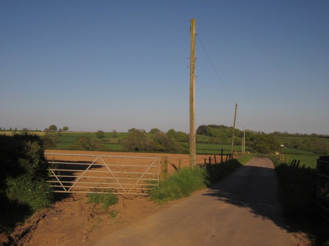
Image: © Derek Harper Taken: 22 May 2012
The farm road seen from its junction with Viney Lane. The farm is out of sight down the slopes of the Umborne Brook valley; but see Image
Images are licensed for reuse under creativecommons.org/licenses/by-sa/2.0
Image Location
Latitude
50.845346
Longitude
-3.12986