Houses on Charles Drive, Cuxton
Introduction
The photograph on this page of Houses on Charles Drive, Cuxton by Robin Webster as part of the Geograph project.
The Geograph project started in 2005 with the aim of publishing, organising and preserving representative images for every square kilometre of Great Britain, Ireland and the Isle of Man.

There are currently over 7.5m images from over 14,400 individuals and you can help contribute to the project by visiting https://www.geograph.org.uk
Houses on Charles Drive, Cuxton
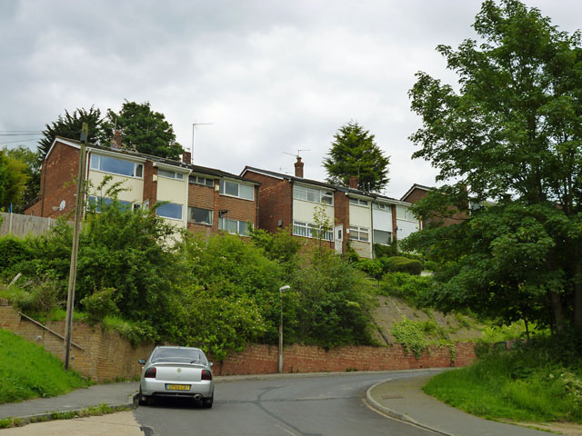
Image: © Robin Webster Taken: 13 Jun 2012
Most houses on the residential developments on the steeply sloping downland here are significantly above or below their road, but these are probably the most extreme.
Images are licensed for reuse under creativecommons.org/licenses/by-sa/2.0
Image Location
Latitude
51.376883
Longitude
0.449293