Great Oxendon Main Street
Introduction
The photograph on this page of Great Oxendon Main Street by Ian Rob as part of the Geograph project.
The Geograph project started in 2005 with the aim of publishing, organising and preserving representative images for every square kilometre of Great Britain, Ireland and the Isle of Man.

There are currently over 7.5m images from over 14,400 individuals and you can help contribute to the project by visiting https://www.geograph.org.uk
Great Oxendon Main Street
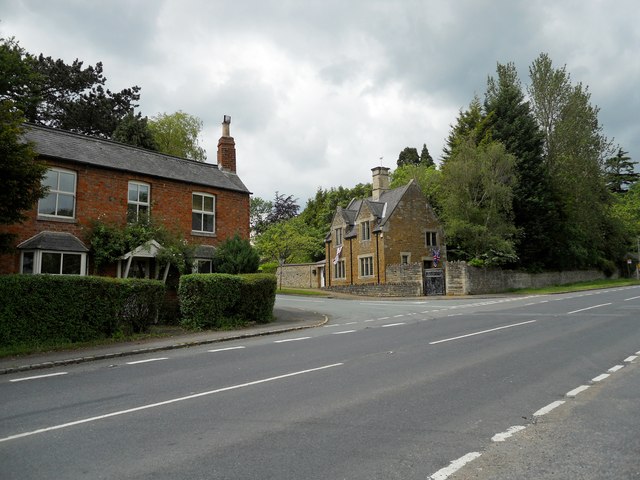
Image: © Ian Rob Taken: 13 Jun 2012
Houses at the junction with the A508 Harborough Road.
Images are licensed for reuse under creativecommons.org/licenses/by-sa/2.0
Image Location
Latitude
52.442991
Longitude
-0.918773