Demolition on Skinnerthorpe Road
Introduction
The photograph on this page of Demolition on Skinnerthorpe Road by Andrew H as part of the Geograph project.
The Geograph project started in 2005 with the aim of publishing, organising and preserving representative images for every square kilometre of Great Britain, Ireland and the Isle of Man.

There are currently over 7.5m images from over 14,400 individuals and you can help contribute to the project by visiting https://www.geograph.org.uk
Demolition on Skinnerthorpe Road
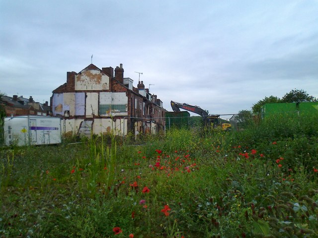
Image: © Andrew H Taken: 13 Jun 2012
Masses of wild flowers have already established themselves where the buildings were cleared a year or so ago.
Images are licensed for reuse under creativecommons.org/licenses/by-sa/2.0
Image Location
Latitude
53.406455
Longitude
-1.450925