Rumer Hill
Introduction
The photograph on this page of Rumer Hill by David P Howard as part of the Geograph project.
The Geograph project started in 2005 with the aim of publishing, organising and preserving representative images for every square kilometre of Great Britain, Ireland and the Isle of Man.

There are currently over 7.5m images from over 14,400 individuals and you can help contribute to the project by visiting https://www.geograph.org.uk
Rumer Hill
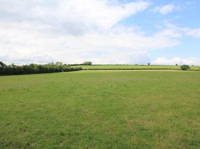
Image: © David P Howard Taken: 13 Jun 2012
Looking WNW from the short section of minor road (about 70 metres) that cuts the south east corner of this grid square, near Rumer Hill Farm.
Images are licensed for reuse under creativecommons.org/licenses/by-sa/2.0
Image Location
Latitude
52.148966
Longitude
-1.771966