Flooding on the Main Road Hunston
Introduction
The photograph on this page of Flooding on the Main Road Hunston by Roger Pagram as part of the Geograph project.
The Geograph project started in 2005 with the aim of publishing, organising and preserving representative images for every square kilometre of Great Britain, Ireland and the Isle of Man.

There are currently over 7.5m images from over 14,400 individuals and you can help contribute to the project by visiting https://www.geograph.org.uk
Flooding on the Main Road Hunston
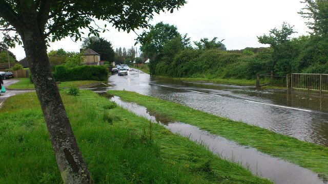
Image: © Roger Pagram Taken: 12 Jun 2012
Flooding on the main Hunston Road leading to Selsey caused some houses to be flooded.The culverts were overflowing.
Images are licensed for reuse under creativecommons.org/licenses/by-sa/2.0
Image Location
Latitude
50.809621
Longitude
-0.778074