Rawridge
Introduction
The photograph on this page of Rawridge by Derek Harper as part of the Geograph project.
The Geograph project started in 2005 with the aim of publishing, organising and preserving representative images for every square kilometre of Great Britain, Ireland and the Isle of Man.

There are currently over 7.5m images from over 14,400 individuals and you can help contribute to the project by visiting https://www.geograph.org.uk
Rawridge
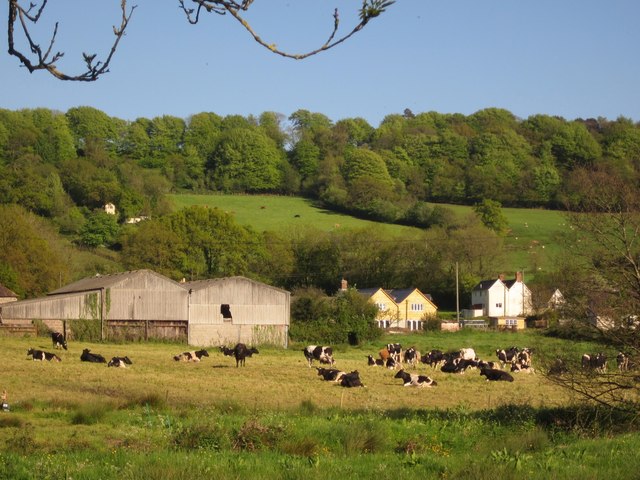
Image: © Derek Harper Taken: 22 May 2012
Buildings near Bearfields Farm at the north end of the village, with a barn to the left. A detail of the scene in Image At the top of the scarp behind is Rawridge Hill Covert.
Images are licensed for reuse under creativecommons.org/licenses/by-sa/2.0
Image Location
Latitude
50.853375
Longitude
-3.136447