The Derriaghy Road, Derriaghy
Introduction
The photograph on this page of The Derriaghy Road, Derriaghy by Albert Bridge as part of the Geograph project.
The Geograph project started in 2005 with the aim of publishing, organising and preserving representative images for every square kilometre of Great Britain, Ireland and the Isle of Man.

There are currently over 7.5m images from over 14,400 individuals and you can help contribute to the project by visiting https://www.geograph.org.uk
The Derriaghy Road, Derriaghy
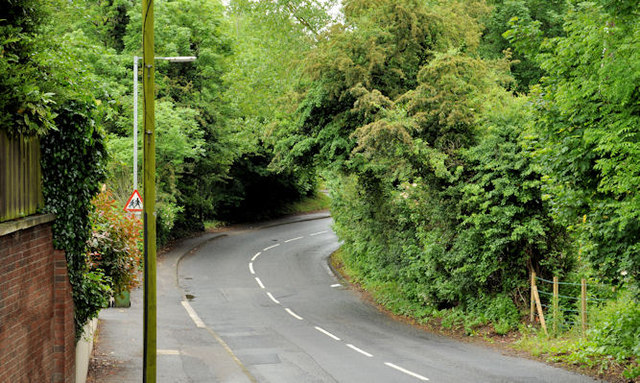
Image: © Albert Bridge Taken: 12 Jun 2012
A small part (near Christ Church Image) of a long road running from a crossroads at The Cutts/the McKinstry Road Image towards Ballymacash, Lisburn.
Images are licensed for reuse under creativecommons.org/licenses/by-sa/2.0
Image Location
Latitude
54.543127
Longitude
-6.031415