The A4135 approaching Beverston
Introduction
The photograph on this page of The A4135 approaching Beverston by Ruth Riddle as part of the Geograph project.
The Geograph project started in 2005 with the aim of publishing, organising and preserving representative images for every square kilometre of Great Britain, Ireland and the Isle of Man.

There are currently over 7.5m images from over 14,400 individuals and you can help contribute to the project by visiting https://www.geograph.org.uk
The A4135 approaching Beverston
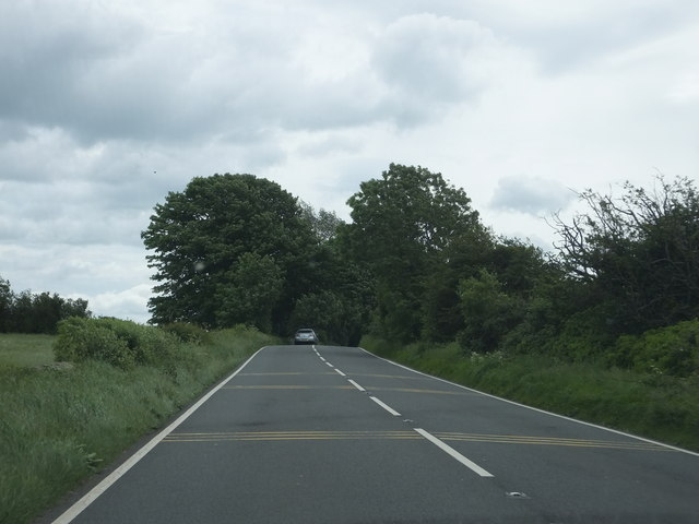
Image: © Ruth Riddle Taken: 9 Jun 2012
Rumble strips at varying separations are positioned on the road surface around this point.
Images are licensed for reuse under creativecommons.org/licenses/by-sa/2.0
Image Location
Latitude
51.64542
Longitude
-2.209509