Quay Street, Ammanford (Recreated)
Introduction
The photograph on this page of Quay Street, Ammanford (Recreated) by Nigel Davies as part of the Geograph project.
The Geograph project started in 2005 with the aim of publishing, organising and preserving representative images for every square kilometre of Great Britain, Ireland and the Isle of Man.

There are currently over 7.5m images from over 14,400 individuals and you can help contribute to the project by visiting https://www.geograph.org.uk
Quay Street, Ammanford (Recreated)
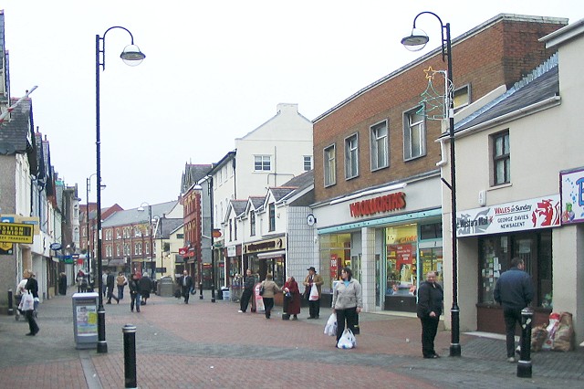
Image: © Nigel Davies Taken: 24 Dec 2006
Looking north up Quay St, from near the junction with Hall St and angled towards the east side. This is a recreation of the 1965 photo at Frith: http://www.francisfrith.com/search/wales/dyfed/ammanford/photos/ammanford_A186091.htm The street is now pedestrianised, and the terraced red brick buildings in the extreme distance have had their pinnacled dormer windows removed when the roof was replaced.
Images are licensed for reuse under creativecommons.org/licenses/by-sa/2.0
Image Location
Latitude
51.792262
Longitude
-3.98758