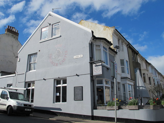
The Walmer Castle, Queen's Park Road / Albion Hill, BN2
Introduction
The photograph on this page of The Walmer Castle, Queen's Park Road / Albion Hill, BN2 by Mike Quinn as part of the Geograph project.
The Geograph project started in 2005 with the aim of publishing, organising and preserving representative images for every square kilometre of Great Britain, Ireland and the Isle of Man.
There are currently over 7.5m images from over 14,400 individuals and you can help contribute to the project by visiting https://www.geograph.org.uk

Image: © Mike Quinn Taken: 20 Apr 2012
The Wiki entry http://en.wikipedia.org/wiki/Walmer_Castle says that Walmer Castle was built by Henry VIII in 1539–1540 as an artillery fortress to counter the threat of invasion from Catholic France and Spain. It was part of his programme to create a chain of coastal defences along England's coast known as the Device Forts or as Henrician Castles. It was one of three forts constructed to defend the Downs, an area of safe anchorage protected by the Goodwin Sands, in Kent. The other forts were at Deal and Sandown. See also Image

