Public footpath near River Severn, Stourport-on-Severn
Introduction
The photograph on this page of Public footpath near River Severn, Stourport-on-Severn by P L Chadwick as part of the Geograph project.
The Geograph project started in 2005 with the aim of publishing, organising and preserving representative images for every square kilometre of Great Britain, Ireland and the Isle of Man.

There are currently over 7.5m images from over 14,400 individuals and you can help contribute to the project by visiting https://www.geograph.org.uk
Public footpath near River Severn, Stourport-on-Severn
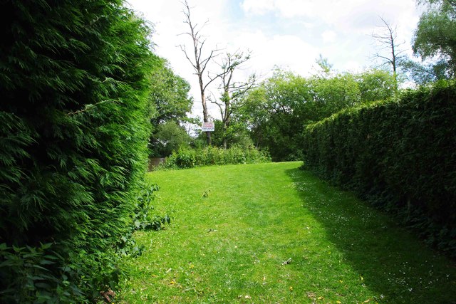
Image: © P L Chadwick Taken: 10 Jun 2012
The footpath here runs between the two hedges, to avoid some very large static caravans, and then turns right, by the private fishing notice on the tree, to be near the river again.
Images are licensed for reuse under creativecommons.org/licenses/by-sa/2.0
Image Location
Latitude
52.328763
Longitude
-2.274356