Public footpath adjacent to River Severn, Stourport-on-Severn
Introduction
The photograph on this page of Public footpath adjacent to River Severn, Stourport-on-Severn by P L Chadwick as part of the Geograph project.
The Geograph project started in 2005 with the aim of publishing, organising and preserving representative images for every square kilometre of Great Britain, Ireland and the Isle of Man.

There are currently over 7.5m images from over 14,400 individuals and you can help contribute to the project by visiting https://www.geograph.org.uk
Public footpath adjacent to River Severn, Stourport-on-Severn
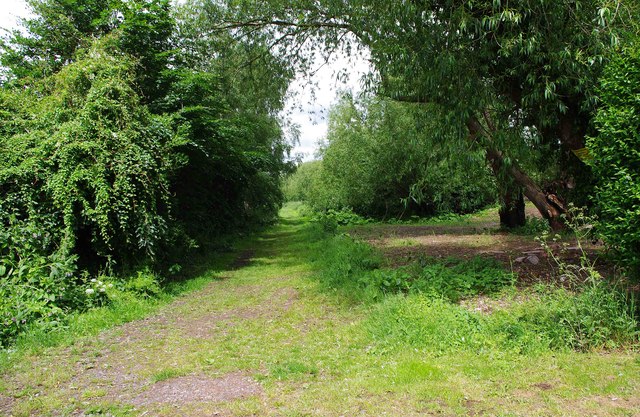
Image: © P L Chadwick Taken: 10 Jun 2012
The footpath on this bank of the river is not very busy. The river is hidden behind the trees and the vegetation on the right. On the left, behind the bushes, is the boundary of Redstone Caravan Park.
Images are licensed for reuse under creativecommons.org/licenses/by-sa/2.0
Image Location
Latitude
52.329211
Longitude
-2.274946