Road Closure in Garswood
Introduction
The photograph on this page of Road Closure in Garswood by Eileen Littler as part of the Geograph project.
The Geograph project started in 2005 with the aim of publishing, organising and preserving representative images for every square kilometre of Great Britain, Ireland and the Isle of Man.

There are currently over 7.5m images from over 14,400 individuals and you can help contribute to the project by visiting https://www.geograph.org.uk
Road Closure in Garswood
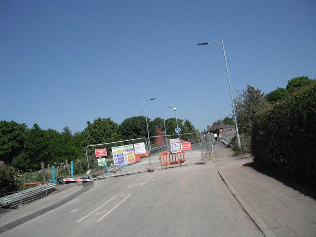
Image: © Eileen Littler Taken: 27 May 2012
The railway line is to be electrified and this bridge had to be raised. The road was closed for approximately 4 months.
Images are licensed for reuse under creativecommons.org/licenses/by-sa/2.0
Image Location
Latitude
53.486075
Longitude
-2.67511