Lewis Rd Radford Semele
Introduction
The photograph on this page of Lewis Rd Radford Semele by Nigel Mykura as part of the Geograph project.
The Geograph project started in 2005 with the aim of publishing, organising and preserving representative images for every square kilometre of Great Britain, Ireland and the Isle of Man.

There are currently over 7.5m images from over 14,400 individuals and you can help contribute to the project by visiting https://www.geograph.org.uk
Lewis Rd Radford Semele
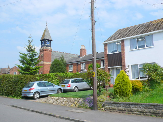
Image: © Nigel Mykura Taken: 28 May 2012
Lewis Rd is the main residential road running south through the village although it doesn't actually go anywhere except to Valley Farm and Hill Farm on the edge of the village. In the background is Radford Semele Methodist church.
Images are licensed for reuse under creativecommons.org/licenses/by-sa/2.0
Image Location


Leaflet Map data © OpenStreetMap
Latitude
52.273797
Longitude
-1.496238