Nottingham - NG2 (A52)
Introduction
The photograph on this page of Nottingham - NG2 (A52) by David Hallam-Jones as part of the Geograph project.
The Geograph project started in 2005 with the aim of publishing, organising and preserving representative images for every square kilometre of Great Britain, Ireland and the Isle of Man.

There are currently over 7.5m images from over 14,400 individuals and you can help contribute to the project by visiting https://www.geograph.org.uk
Nottingham - NG2 (A52)
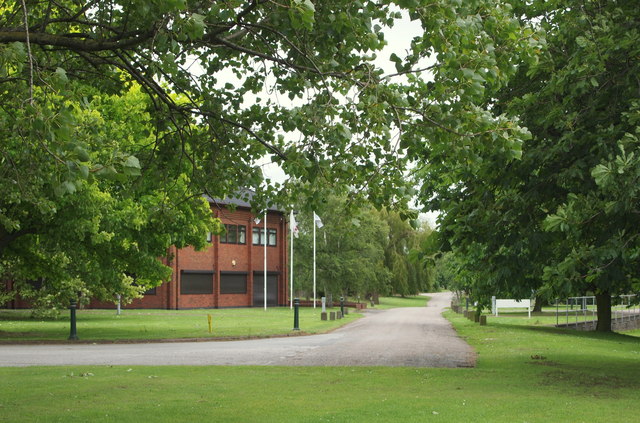
Image: © David Hallam-Jones Taken: 9 Jun 2012
A view from the closed end of Landmere Lane (a cul-de-sac) looking towards Melton Road (the A606). This lane was chopped into two (when ?) by the construction of the A52, a dual carriageway on the right of the photographer. A small business park now exists at this end of the lane, as does the popular Wheatcroft Garden Centre that is located behind the trees beyond the flag pole. The lane itself peters out on the left, leading into a large car park and to nearby Roberts Farm.
Images are licensed for reuse under creativecommons.org/licenses/by-sa/2.0
Image Location
Latitude
52.903108
Longitude
-1.126952