Council Houses at Java
Introduction
The photograph on this page of Council Houses at Java by Anne Burgess as part of the Geograph project.
The Geograph project started in 2005 with the aim of publishing, organising and preserving representative images for every square kilometre of Great Britain, Ireland and the Isle of Man.

There are currently over 7.5m images from over 14,400 individuals and you can help contribute to the project by visiting https://www.geograph.org.uk
Council Houses at Java
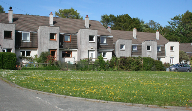
Image: © Anne Burgess Taken: 1 Jun 2012
Intrigued by the idea of a footpath to Java, I followed it and arrived here. I was both sorry and glad to find this outbreak of council house gothic. Sorry, because with their flat-fronted towers, ill-proportioned windows and greying harled walls, they are totally out of keeping with the traditional style of house on the island; and glad because, being tucked away here, they cannot be seen from anywhere else.
Images are licensed for reuse under creativecommons.org/licenses/by-sa/2.0
Image Location
Latitude
56.47836
Longitude
-5.714318