Transport House, Belfast (9)
Introduction
The photograph on this page of Transport House, Belfast (9) by Albert Bridge as part of the Geograph project.
The Geograph project started in 2005 with the aim of publishing, organising and preserving representative images for every square kilometre of Great Britain, Ireland and the Isle of Man.

There are currently over 7.5m images from over 14,400 individuals and you can help contribute to the project by visiting https://www.geograph.org.uk
Transport House, Belfast (9)
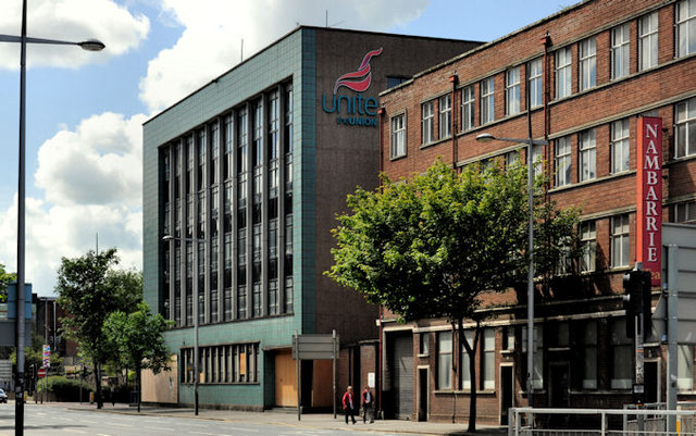
Image: © Albert Bridge Taken: 10 Jun 2012
Transport House seen from beside the Salvation Army hostel in Victoria Street (Dunbar Link on the Google map). The “Nambarrie” site http://www.geograph.org.uk/snippet/5146 is on the right. To the best of my knowledge there are no (public) plans for an alternative use or occupant for the building.
Images are licensed for reuse under creativecommons.org/licenses/by-sa/2.0
Image Location
Latitude
54.600825
Longitude
-5.924788