Bus stop beside the B4057
Introduction
The photograph on this page of Bus stop beside the B4057 by Ruth Riddle as part of the Geograph project.
The Geograph project started in 2005 with the aim of publishing, organising and preserving representative images for every square kilometre of Great Britain, Ireland and the Isle of Man.

There are currently over 7.5m images from over 14,400 individuals and you can help contribute to the project by visiting https://www.geograph.org.uk
Bus stop beside the B4057
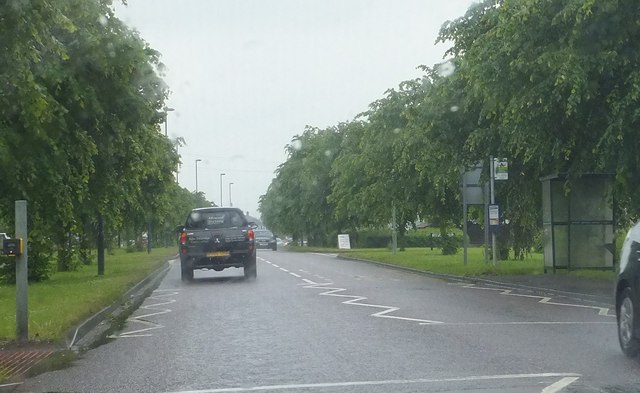
Image: © Ruth Riddle Taken: 11 Jun 2012
Looking eastwards along a rather rain-swept B4057 near Stoke Gifford, a bus stop and associated shelter which serve the westbound carriageway are seen to the right of the picture.
Images are licensed for reuse under creativecommons.org/licenses/by-sa/2.0
Image Location
Latitude
51.522622
Longitude
-2.559045