Cereal fields west of Brockham
Introduction
The photograph on this page of Cereal fields west of Brockham by Stefan Czapski as part of the Geograph project.
The Geograph project started in 2005 with the aim of publishing, organising and preserving representative images for every square kilometre of Great Britain, Ireland and the Isle of Man.

There are currently over 7.5m images from over 14,400 individuals and you can help contribute to the project by visiting https://www.geograph.org.uk
Cereal fields west of Brockham
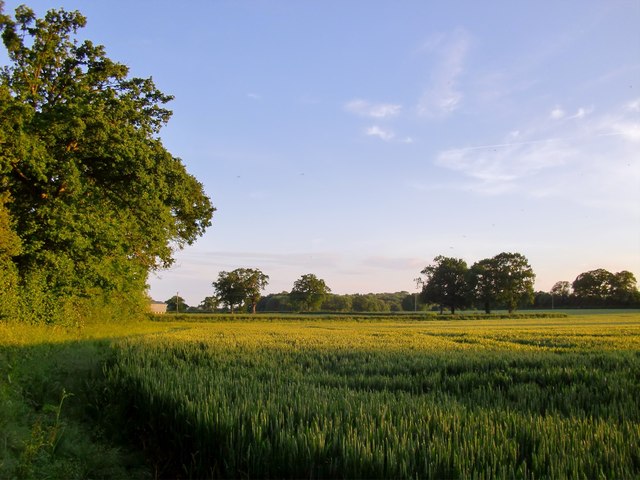
Image: © Stefan Czapski Taken: 9 Jun 2012
Looking south from the Coach Road, with a distant barn at Pondtail Farm partly obscured by the hedgerow on the left. Seen at about 8.35 on a June evening.
Images are licensed for reuse under creativecommons.org/licenses/by-sa/2.0
Image Location
Latitude
51.229947
Longitude
-0.296763