Housing variety, St John's Road, Newport
Introduction
The photograph on this page of Housing variety, St John's Road, Newport by Jaggery as part of the Geograph project.
The Geograph project started in 2005 with the aim of publishing, organising and preserving representative images for every square kilometre of Great Britain, Ireland and the Isle of Man.

There are currently over 7.5m images from over 14,400 individuals and you can help contribute to the project by visiting https://www.geograph.org.uk
Housing variety, St John's Road, Newport
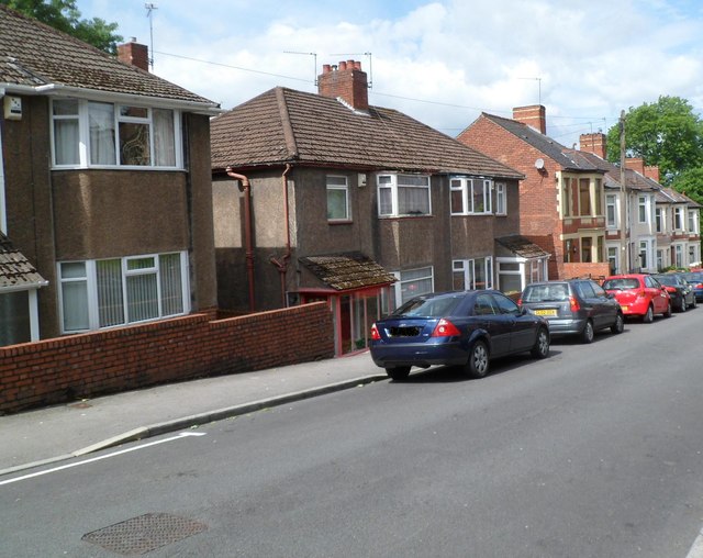
Image: © Jaggery Taken: 9 Jun 2012
In this part of St John's Road, opposite St John the Evangelist church, are a detached house on the left, two semi-detached houses in the middle, and a row of six houses on the right, near the corner of Kensington Place.
Images are licensed for reuse under creativecommons.org/licenses/by-sa/2.0
Image Location
Latitude
51.59039
Longitude
-2.97575