Kingston Bagpuize Park
Introduction
The photograph on this page of Kingston Bagpuize Park by Des Blenkinsopp as part of the Geograph project.
The Geograph project started in 2005 with the aim of publishing, organising and preserving representative images for every square kilometre of Great Britain, Ireland and the Isle of Man.

There are currently over 7.5m images from over 14,400 individuals and you can help contribute to the project by visiting https://www.geograph.org.uk
Kingston Bagpuize Park
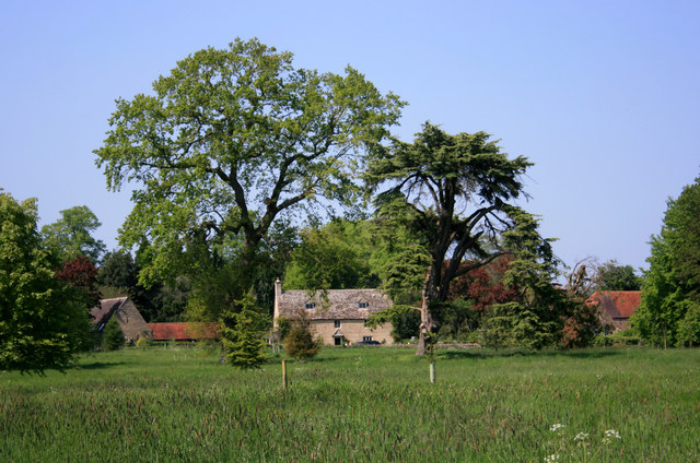
Image: © Des Blenkinsopp Taken: 21 May 2012
The grounds of Kingston Bagpuize House are an informal mixture of pasture and natural and planted trees.
Images are licensed for reuse under creativecommons.org/licenses/by-sa/2.0
Image Location
Latitude
51.680564
Longitude
-1.414328