Green Gate
Introduction
The photograph on this page of Green Gate by Simon Carey as part of the Geograph project.
The Geograph project started in 2005 with the aim of publishing, organising and preserving representative images for every square kilometre of Great Britain, Ireland and the Isle of Man.

There are currently over 7.5m images from over 14,400 individuals and you can help contribute to the project by visiting https://www.geograph.org.uk
Green Gate
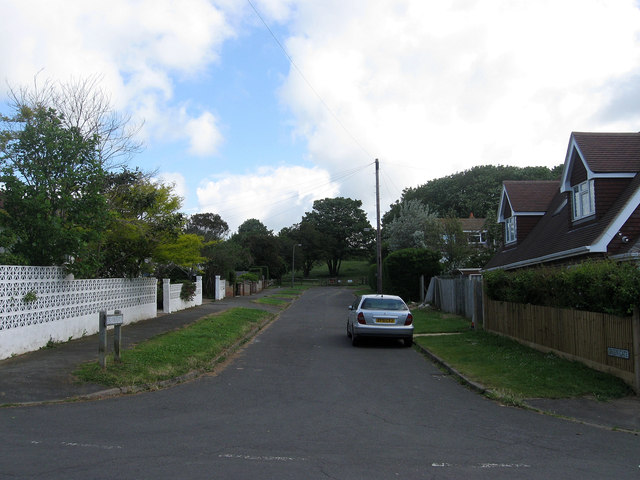
Image: © Simon Carey Taken: 9 Jun 2012
Small cul-de-sac off Glynn Road West that runs to Image Like most areas of Peacehaven only one plot was built on by the end of the 1920s and only one other added by the end of the 1970s prior to infilling that occurred in the following decade to bring the total number of houses up to seven.
Images are licensed for reuse under creativecommons.org/licenses/by-sa/2.0
Image Location
Latitude
50.804353
Longitude
0.000521