Pylons and farmland off Coopers Lane
Introduction
The photograph on this page of Pylons and farmland off Coopers Lane by Bikeboy as part of the Geograph project.
The Geograph project started in 2005 with the aim of publishing, organising and preserving representative images for every square kilometre of Great Britain, Ireland and the Isle of Man.

There are currently over 7.5m images from over 14,400 individuals and you can help contribute to the project by visiting https://www.geograph.org.uk
Pylons and farmland off Coopers Lane
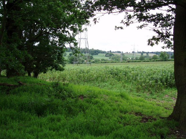
Image: © Bikeboy Taken: 10 Jun 2012
You can see the M25 in the far distance.
Images are licensed for reuse under creativecommons.org/licenses/by-sa/2.0
Image Location
Latitude
51.691039
Longitude
-0.134393