Gold Lane
Introduction
The photograph on this page of Gold Lane by Simon Carey as part of the Geograph project.
The Geograph project started in 2005 with the aim of publishing, organising and preserving representative images for every square kilometre of Great Britain, Ireland and the Isle of Man.

There are currently over 7.5m images from over 14,400 individuals and you can help contribute to the project by visiting https://www.geograph.org.uk
Gold Lane
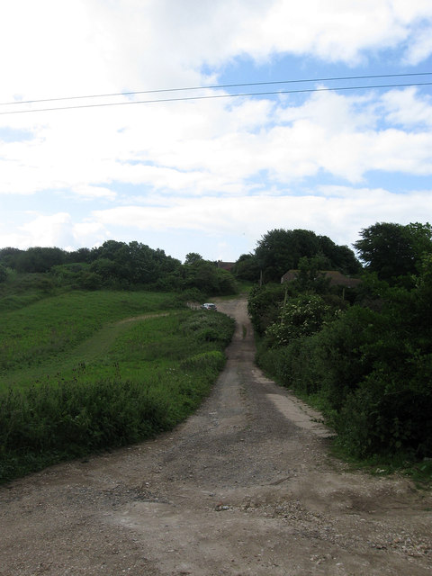
Image: © Simon Carey Taken: 9 Jun 2012
Interestingly the houses seemed to have arrived before the construction of the road as it does not appear on maps until the 1950s. The clump of bushes to the left mark the site of an old chalk pit the only thing to be found on a map prior to 1920. Viewed from the junction with Valley Road.
Images are licensed for reuse under creativecommons.org/licenses/by-sa/2.0
Image Location
Latitude
50.807727
Longitude
0.003078