Roderick Avenue North
Introduction
The photograph on this page of Roderick Avenue North by Simon Carey as part of the Geograph project.
The Geograph project started in 2005 with the aim of publishing, organising and preserving representative images for every square kilometre of Great Britain, Ireland and the Isle of Man.

There are currently over 7.5m images from over 14,400 individuals and you can help contribute to the project by visiting https://www.geograph.org.uk
Roderick Avenue North
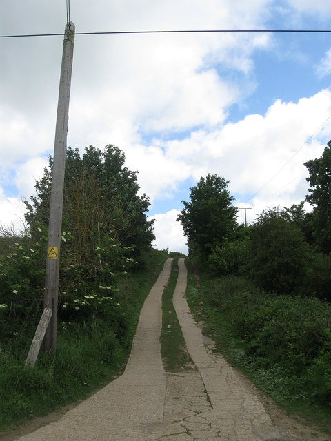
Image: © Simon Carey Taken: 9 Jun 2012
The main access route for those living in The Lookout viewed from the crossroads with Valley Road. Roderick Avenue is the longest north-south road in Peacehaven stretching from the cliff tops to Bullock Down though it is no longer possible to drive its entire length. This section seems to have been added in the 1950s and is also a public footpath.
Images are licensed for reuse under creativecommons.org/licenses/by-sa/2.0
Image Location
Latitude
50.809131
Longitude
0.005125