A view from Upper Tennyson Road, Newport
Introduction
The photograph on this page of A view from Upper Tennyson Road, Newport by Jaggery as part of the Geograph project.
The Geograph project started in 2005 with the aim of publishing, organising and preserving representative images for every square kilometre of Great Britain, Ireland and the Isle of Man.

There are currently over 7.5m images from over 14,400 individuals and you can help contribute to the project by visiting https://www.geograph.org.uk
A view from Upper Tennyson Road, Newport
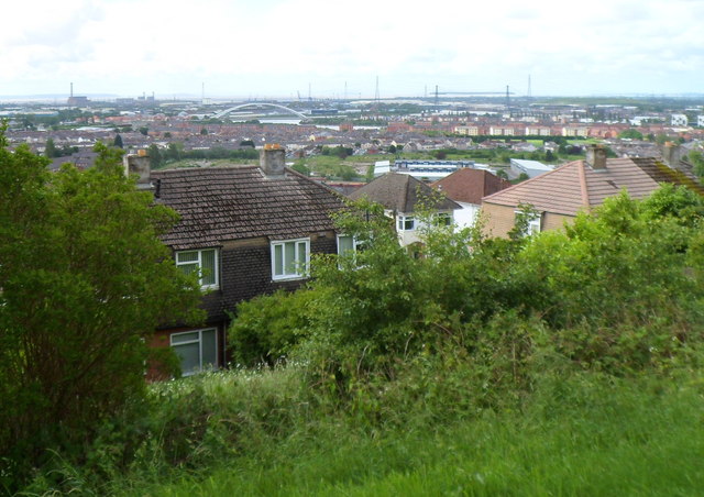
Image: © Jaggery Taken: 9 Jun 2012
At the modest height of about 60 metres (nearly 200 feet) above mean sea level, this part of Upper Tennyson Road commands a good view across distant low-lying parts of Newport. This view was taken alongside a bench facing the wrong way. http://www.geograph.org.uk/photo/2985521
Images are licensed for reuse under creativecommons.org/licenses/by-sa/2.0
Image Location
Latitude
51.589539
Longitude
-2.969958