Eastern side of Upper Tennyson Road, Newport
Introduction
The photograph on this page of Eastern side of Upper Tennyson Road, Newport by Jaggery as part of the Geograph project.
The Geograph project started in 2005 with the aim of publishing, organising and preserving representative images for every square kilometre of Great Britain, Ireland and the Isle of Man.

There are currently over 7.5m images from over 14,400 individuals and you can help contribute to the project by visiting https://www.geograph.org.uk
Eastern side of Upper Tennyson Road, Newport
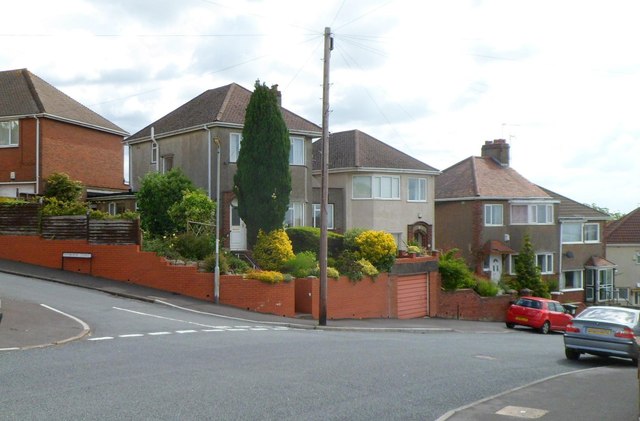
Image: © Jaggery Taken: 9 Jun 2012
The houses are between Swinburne Close http://www.geograph.org.uk/photo/2985454 on the left and the Wordsworth Road junction out of shot ahead.
Images are licensed for reuse under creativecommons.org/licenses/by-sa/2.0
Image Location
Latitude
51.589562
Longitude
-2.967071