Buildings alongside lane in Lauder
Introduction
The photograph on this page of Buildings alongside lane in Lauder by Trevor Littlewood as part of the Geograph project.
The Geograph project started in 2005 with the aim of publishing, organising and preserving representative images for every square kilometre of Great Britain, Ireland and the Isle of Man.

There are currently over 7.5m images from over 14,400 individuals and you can help contribute to the project by visiting https://www.geograph.org.uk
Buildings alongside lane in Lauder
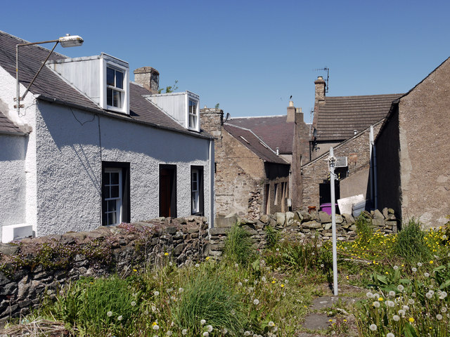
Image: © Trevor Littlewood Taken: 27 May 2012
The lane, which is on the far side of the wall at the left side of the image, connects Crofts Road to the High Street (A68) in Lauder, reaching that road beside a pub named the Golden Bannock.
Images are licensed for reuse under creativecommons.org/licenses/by-sa/2.0
Image Location
Latitude
55.719887
Longitude
-2.750061