Thornton Heath Recreation Ground
Introduction
The photograph on this page of Thornton Heath Recreation Ground by Marathon as part of the Geograph project.
The Geograph project started in 2005 with the aim of publishing, organising and preserving representative images for every square kilometre of Great Britain, Ireland and the Isle of Man.

There are currently over 7.5m images from over 14,400 individuals and you can help contribute to the project by visiting https://www.geograph.org.uk
Thornton Heath Recreation Ground
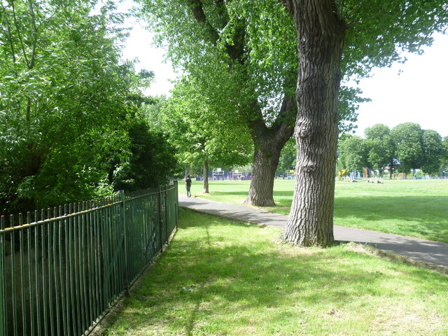
Image: © Marathon Taken: 6 Jun 2012
Thornton Heath Recreation Ground was one of the earlier open spaces to be acquired by Croydon Council The first part was acquired in 1884 to serve built-up Thornton Heath, and a further part added in 1891. The footpath across the middle from Melfort Avenue to Bridport Road marks the divide between the two land acquisitions. There used to be a bandstand and in 1948 the park had to be closed for nine months to reinstate the grass as the park had been so well used. The Norbury Brook, which becomes the River Graveney and flows into the Wandle at Earlsfield, follows the western edge of the recreation ground in a deep concrete culvert. It is here on the left beyond the railings.
Images are licensed for reuse under creativecommons.org/licenses/by-sa/2.0
Image Location
Latitude
51.400867
Longitude
-0.107264