Lewisham: the Quaggy River?s journey?s end
Introduction
The photograph on this page of Lewisham: the Quaggy River?s journey?s end by Chris Downer as part of the Geograph project.
The Geograph project started in 2005 with the aim of publishing, organising and preserving representative images for every square kilometre of Great Britain, Ireland and the Isle of Man.

There are currently over 7.5m images from over 14,400 individuals and you can help contribute to the project by visiting https://www.geograph.org.uk
Lewisham: the Quaggy River?s journey?s end
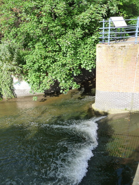
Image: © Chris Downer Taken: 4 Jun 2012
Seen here coming towards us from behind a brick wall, the Quaggy River reaches the end of its journey through 8 miles or so of London's southeastern suburbs. It flows into the Ravensbourne River which has only travelled a couple of miles to this point and has only another couple to go before flowing into the Thames at Deptford.
Images are licensed for reuse under creativecommons.org/licenses/by-sa/2.0
Image Location
Latitude
51.465127
Longitude
-0.012609