Louth hospital and Louth north, aerial 2007
Introduction
The photograph on this page of Louth hospital and Louth north, aerial 2007 by Chris as part of the Geograph project.
The Geograph project started in 2005 with the aim of publishing, organising and preserving representative images for every square kilometre of Great Britain, Ireland and the Isle of Man.

There are currently over 7.5m images from over 14,400 individuals and you can help contribute to the project by visiting https://www.geograph.org.uk
Louth hospital and Louth north, aerial 2007
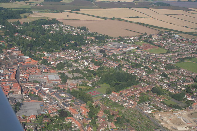
Image: © Chris Taken: 5 Aug 2007
The hospital is just right of, and above, the centre. The building site bottom right is now a housing estate. Note the Charles St.tennis courts (green with red centres) and fishing pond, just below centre, and allotments at the bottom.
Images are licensed for reuse under creativecommons.org/licenses/by-sa/2.0
Image Location
Latitude
53.372252
Longitude
-0.009727