Monks Dyke School area of Louth, aerial 2007
Introduction
The photograph on this page of Monks Dyke School area of Louth, aerial 2007 by Chris as part of the Geograph project.
The Geograph project started in 2005 with the aim of publishing, organising and preserving representative images for every square kilometre of Great Britain, Ireland and the Isle of Man.

There are currently over 7.5m images from over 14,400 individuals and you can help contribute to the project by visiting https://www.geograph.org.uk
Monks Dyke School area of Louth, aerial 2007
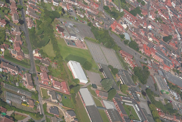
Image: © Chris Taken: 5 Aug 2007
Centre is the school, with the old bus depot (and buses) near the bottom right edge.
Images are licensed for reuse under creativecommons.org/licenses/by-sa/2.0
Image Location
Latitude
53.366346
Longitude
0.004728