River Trent north of East Stoke
Introduction
The photograph on this page of River Trent north of East Stoke by Trevor Rickard as part of the Geograph project.
The Geograph project started in 2005 with the aim of publishing, organising and preserving representative images for every square kilometre of Great Britain, Ireland and the Isle of Man.

There are currently over 7.5m images from over 14,400 individuals and you can help contribute to the project by visiting https://www.geograph.org.uk
River Trent north of East Stoke
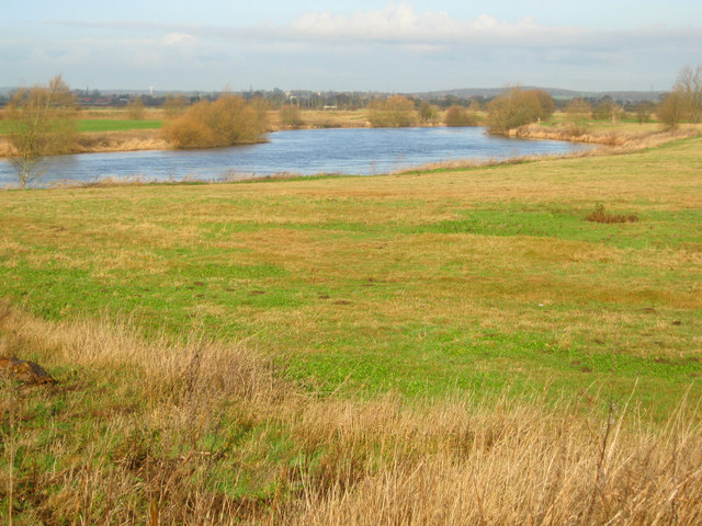
Image: © Trevor Rickard Taken: 28 Jan 2012
Looking north along an 'S' curve in the river as it carves through flattish water meadows.
Images are licensed for reuse under creativecommons.org/licenses/by-sa/2.0
Image Location
Latitude
53.046776
Longitude
-0.872251