Houses in Pollards Hill North
Introduction
The photograph on this page of Houses in Pollards Hill North by Marathon as part of the Geograph project.
The Geograph project started in 2005 with the aim of publishing, organising and preserving representative images for every square kilometre of Great Britain, Ireland and the Isle of Man.

There are currently over 7.5m images from over 14,400 individuals and you can help contribute to the project by visiting https://www.geograph.org.uk
Houses in Pollards Hill North
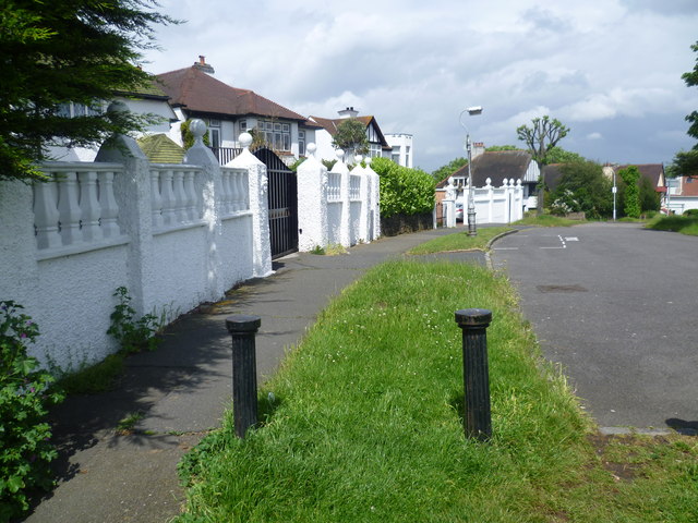
Image: © Marathon Taken: 6 Jun 2012
Pollards Hill occupies the highest point in Norbury and on a clear day the view stretches to Windsor Castle. It was originally part of the Great North Wood and the name 'Pollard' derives from this connection. The road layout of Pollards Hill was shown on maps of 1868 with two avenues of trees. Pollards Hill had been left as an open space as the surrounding estate developed and it was given to Croydon Council in 1913 by Sir Frederick Ederidge. This is Pollards Hill North and this appeared on the 1868 map. The attractive houses right near the summit of the hill are rather more recent. The open space is off to the right. Unusually, there are no parked cars to spoil the photograph.
Images are licensed for reuse under creativecommons.org/licenses/by-sa/2.0
Image Location
Latitude
51.403623
Longitude
-0.12771