Farm buildings on the edge of Airton
Introduction
The photograph on this page of Farm buildings on the edge of Airton by Bill Boaden as part of the Geograph project.
The Geograph project started in 2005 with the aim of publishing, organising and preserving representative images for every square kilometre of Great Britain, Ireland and the Isle of Man.

There are currently over 7.5m images from over 14,400 individuals and you can help contribute to the project by visiting https://www.geograph.org.uk
Farm buildings on the edge of Airton
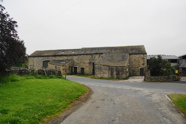
Image: © Bill Boaden Taken: 2 Jun 2012
Part of Garris Lodge Farm. There are large newer buildings behind, but these maintain the desired village frontage.
Images are licensed for reuse under creativecommons.org/licenses/by-sa/2.0
Image Location
Latitude
54.027526
Longitude
-2.153228