A "Danish" lane
Introduction
The photograph on this page of A "Danish" lane by Richard Webb as part of the Geograph project.
The Geograph project started in 2005 with the aim of publishing, organising and preserving representative images for every square kilometre of Great Britain, Ireland and the Isle of Man.

There are currently over 7.5m images from over 14,400 individuals and you can help contribute to the project by visiting https://www.geograph.org.uk
A "Danish" lane
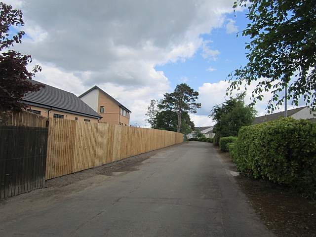
Image: © Richard Webb Taken: 4 Jun 2012
This is a pre - East Kilbride new town road and is now a foot or cycle path. The residential streets here all have names taken from Denmark.
Images are licensed for reuse under creativecommons.org/licenses/by-sa/2.0
Image Location
Latitude
55.748516
Longitude
-4.183075