Rounding Street
Introduction
The photograph on this page of Rounding Street by Burgess Von Thunen as part of the Geograph project.
The Geograph project started in 2005 with the aim of publishing, organising and preserving representative images for every square kilometre of Great Britain, Ireland and the Isle of Man.

There are currently over 7.5m images from over 14,400 individuals and you can help contribute to the project by visiting https://www.geograph.org.uk
Rounding Street
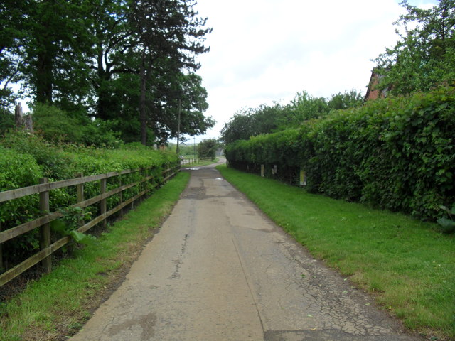
Image: © Burgess Von Thunen Taken: 4 Jun 2012
This lane on the edge of new development at Upton appears on the map as Rounding Street. It leads down to Upton Mill and the lane itself was always known simply as Upton Mill, as far as I know.
Images are licensed for reuse under creativecommons.org/licenses/by-sa/2.0
Image Location
Latitude
52.231066
Longitude
-0.94677